
Indonesia Stands Firms Against Chinese Claims In Natuna Sea
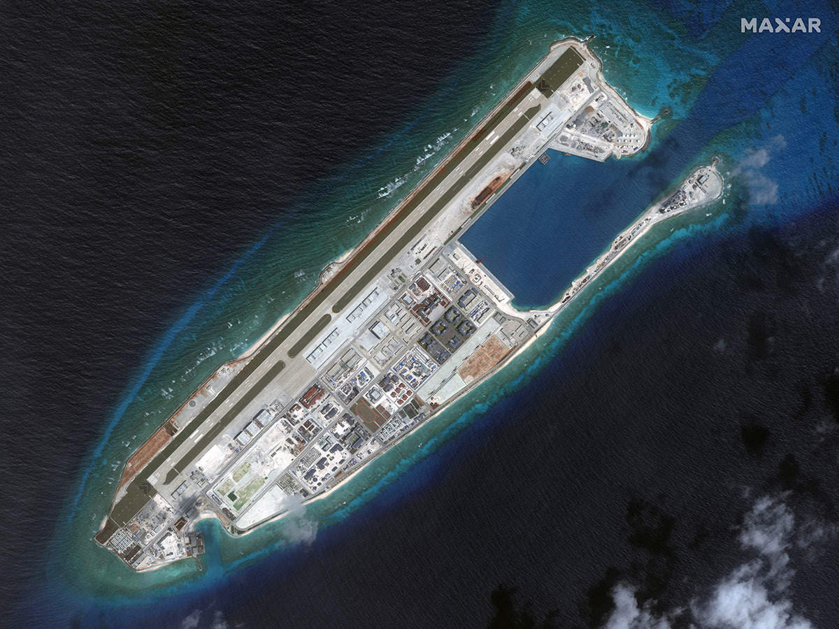
China claims nearly the whole of the South China Sea including islands in Natuna Sea, as reflected in its “nine-dash line”. Jakarta has reacted firmly to Chinese claims by rejecting all such Chinese claims in Natuna Sea or Laut Natuna as called in Bhasa Indonesia.
This Sea is an extensive shallow sea located around Natuna Regency Island extending south to Lingga and down to Riau Islands, further south of Bangka Belitung Islands of Indonesia. Most of the sea is located within Indonesian territorial waters, and geologically is the part of Sunda Shelf. This sea is bordering South China Sea to the north and northeast, Karimata Strait to the southeast, and Strait of Singapore to the west.
Natuna Sea
The Natuna Sea surrounding the Riau Islands province.
Natuna Sea
This part of sea was always considered as a part of Indonesian Waters. In 1986 the International Hydrographic Organization officially recognized the Natuna Sea, which extends south from the Natuna Islands to the Anambas and down to Belitung Islands. These chains of Island creates a arch that connects southeastern tip of Malay peninsula to western tip of Borneo. This forms the northern boundary of Natuna Sea. While on the south, the southeast coast of Sumatra, the Lingga Islands, Bangka and Belitung islands creates its southern boundary and its opening to Karimata Strait and Java Sea.
Just like South China Sea, Natuna Sea forms a marginal part of Pacific. Natuna sea contains numbers of archipelagos, including:
Natuna Islands in Natuna Regency
Greater Natuna Archipelago in Natuna Regency
South Natuna Archipelago in Natuna Regency
Anambas Archipelago in Anambas Islands Regency
Lingga Archipelago inLingga Regency
Tambelan Archipelago in Bintan Regency
Riau Archipelago
All of these archipelagos are administrated by the Indonesian Province of Riau Islands.
In July 2017, Indonesia renamed the northern reaches of its Exclusive Economic Zone in this area located north of Natuna Regency and bordering Southern part of Vietnam’s EEZ, as the North Natuna Sea. The North Natuna Sea is thus located between the Natuna Islands and Cape Ca Mau on the southern tip of the Mekong Delta in Vietnam.
Recently a Chinese boat trespassed into Indonesia’s exclusive economic zone off the coast of the northern islands of Natuna. Indonesians officials issued a “strong protest” and summoned the Chinese ambassador in Jakarta.
Thus the Natuna Sea bordering the South China Sea could become a flash point between China and Indonesia, South East Asia’s biggest nation. Indonesia has fully rejected China’s claims over a disputed part of the South China Sea as “having no legal basis”. It also protested to Beijing over the presence of a Chinese coastguard vessel in its territorial waters.
Whereas speaking in Beijing, Chinese Foreign Ministry spokesman Geng Shuang had said that China had sovereignty over the Spratly Islands and their waters and that both China and Indonesia have “normal” fishing activities there.
Indonesia’s foreign ministry issued a statement on Wednesday and asked China to explain the “legal basis and clear borders” regarding its claims on the exclusive economic zone, as based on the 1982 United Nations Convention on the Law of the Sea (UNCLOS).
Jakarta also stated that the Chinese argument had been refuted during China’s legal defeat against the Philippines in 2016 over disputed South China claims at Permanent Court of Arbitration in The Hague.
“Indonesia historic rights claimed by China are very recent… it just in 1993 became known to Indonesia, when the Chinese delegation distributed a 9 dash line map during Workshop on SCS. No such a claim raised before that. At least 9DL was absent in 1969, when Indonesia-Malaysia concluded Agreement on delimitation of continental shelf in SCS that, known later, as lying within 9DL in SCS. The Agreement was deposited to the UN and thus publicly known since 1969. But no Chinese protest was recorded,” said Dr Damos Dumoli Agusman Director General for Legal Affairs and International Treaties Ministry of Foreign Affairs, Indonesia.
“During the negotiation of UNCLOS since 1970s there is no record showing discussion on historic rights, 9DL, relevant waters, except historic bays and historic title for delimiting territorial sea,” Agusman said, adding, “In 1980 Indonesia declared its EEZ and encroaching-known later- as 9DL, and no Chinese protest recorded. It just the 2003 Agreement between Indonesia-Vietnam that received the protest. So if the claim is so recent, how it acquires its historic value?”
China’s Foreign Ministry claim on the Natuna Islands were shocking to many Indonesians. Indonesian officials said Indonesia has to do nothing with China over the Natuna Islands and their surrounding waters, as UNCLOS does not recognise “traditional” fishing grounds, and therefore Jakarta would not open any negotiations with Beijing.
“Among Indonesian Military officers, however, the common mood is that “China’s position is totally unacceptable and we should take concrete actions in the field”. For millions of Indonesians, China’s diplomat has crossed the line by openly challenging Indonesia’s territorial integrity. Their pride as a nation has been wounded, for right or wrong reasons. “China can easily do it to smaller members of ASEAN, but not with us”, was the common reaction of Indonesians on social media,” according to a report in leading Indonesian daily Jakarta Post.


